Apache Trail
|
|
|
|
Page Views: 1,069 |
| Hashtags: #ApacheTrail #LakeRoosevelt #CanyonLake #Arizona #SaltRiver #ArizonaStateRoute88 |
| A drive through the Superstition Mountains along Arizona's historic Apache Trail. |
| Estimated reading time: 1 minute(s) (131 words) |
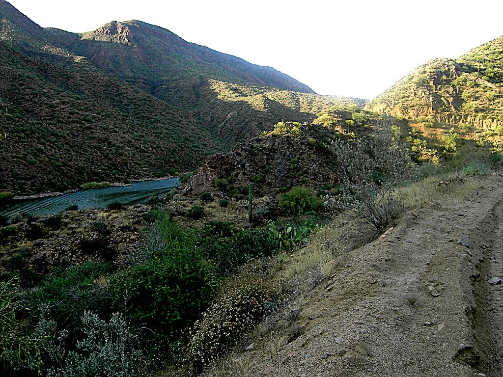
Between 1903 and 1911, Arizona's Salt River was "tamed" via the construction
of the Roosevelt Dam. Named after Teddy Roosevelt, the dam was dedicated by him in 1909.
The road that had been built along the Salt River to facilitate the building
of the dam followed the canyon outlines, including forays into many side canyons
and switchbacks up and down the canyon walls.
Roosevelt said it was the most beautiful drive in the world, combining
"aspects of Grand Canyon, the Rockies," and other world-famous vistas of the
time.
So Michael and I took my mom, who was born just 3 years after the dedication,
to ride along this historic (and still unpaved) road.