|
By: Paul S Cilwa |
Posted: 8/15/2009 |
|
Page Views: 1,620 |
| Hashtags: #Places #Photography #SuperstitionMountains #Arizona |
| Michael and I celebrate my sister-in-law's birthday with a trip through the Superstition Mountains. |
| Estimated reading time: 3 minute(s) (543 words) |
The trip began around the corner from us, in Apache Junction, Arizona, where
we get on State Road 88, passing by the touristy ghost town of Goldfield and the
Lost Dutchman State Park. We drove by beautiful Canyon Lake, and stopped, as
usual, in the little town of Tortilla Flat where we had lunch and a cone or cup
of unique and delicious prickly pear ice cream.
Tortilla Flat is the last
surviving stagecoach stop on the Apache Trail. It has a population of 6, and one
cluster of buildings, reputedly originated by the Lost Dutchman himself,
Jacob Waltz.
(Waltz was German, not Dutch; the German word for German—Deutsche—was
responsible for the confusion.)
In any case, today's photos begin with a massif located across the road from
the restaurant.
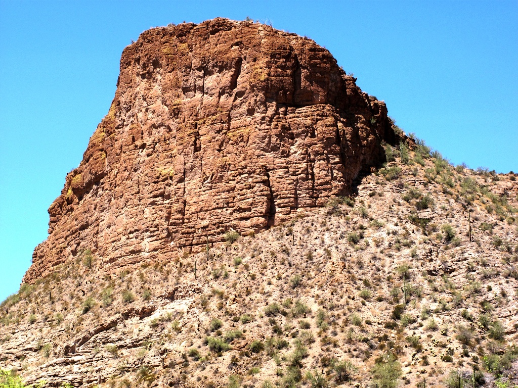
After lunch we continued along AZ-88, the paved portion of which
ends just a few miles east of Tortilla Flat. However, the unpaved
portion is graded monthly and is generally no problem to drive.
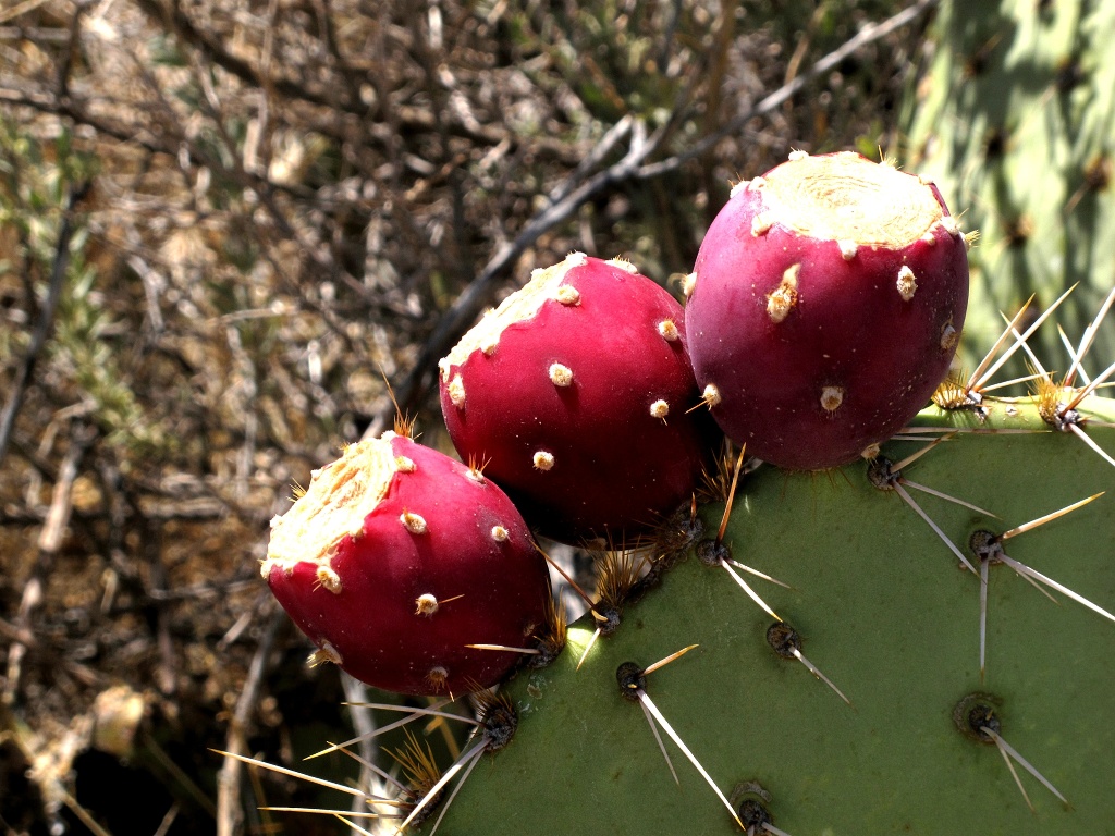
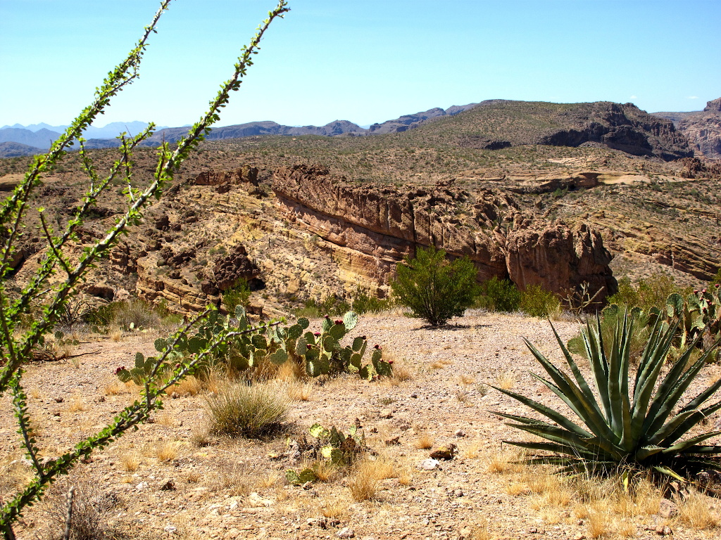
Shortly past the ending of the pavement is a scenic rest stop (and last
bathroom until Lake Apache). We stopped to enjoy the view, which included some
ripe prickly pears.
The stop includes some interpretive plaques identifying some of the
mountains in the distance, the plants at our feet, and the history
of the place.
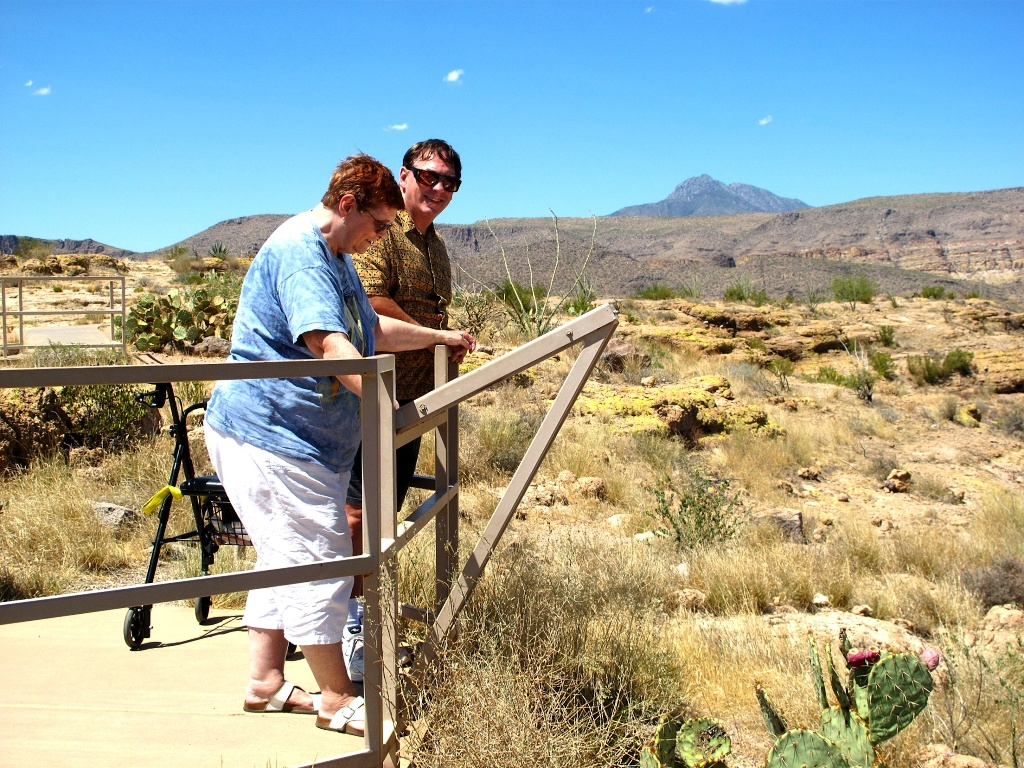
Surya and Michael read an interpretive plaque.
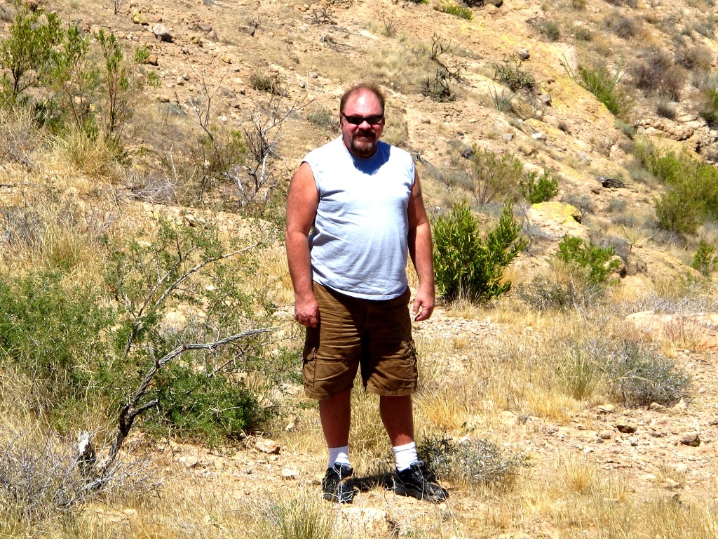
Paul doesn't need an interpretive plaque.
The stop is located at the top of a rise, and the interpretive trail (which
is paved and accessible to most persons with disabilities) leads out along the
spine of the rise, providing views of the canyons below.
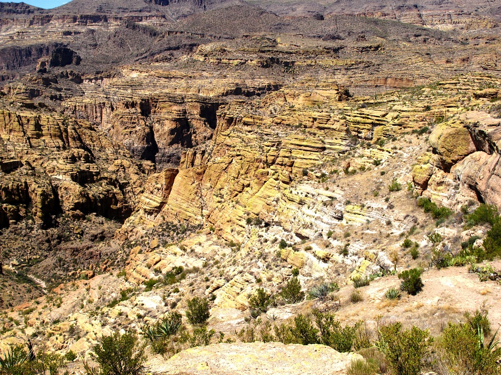
When we continue up the road, it will be down a very steep set of
switchbacks into Fish Creek Canyon. From the top we can get a hint
of what the road has in store for us.
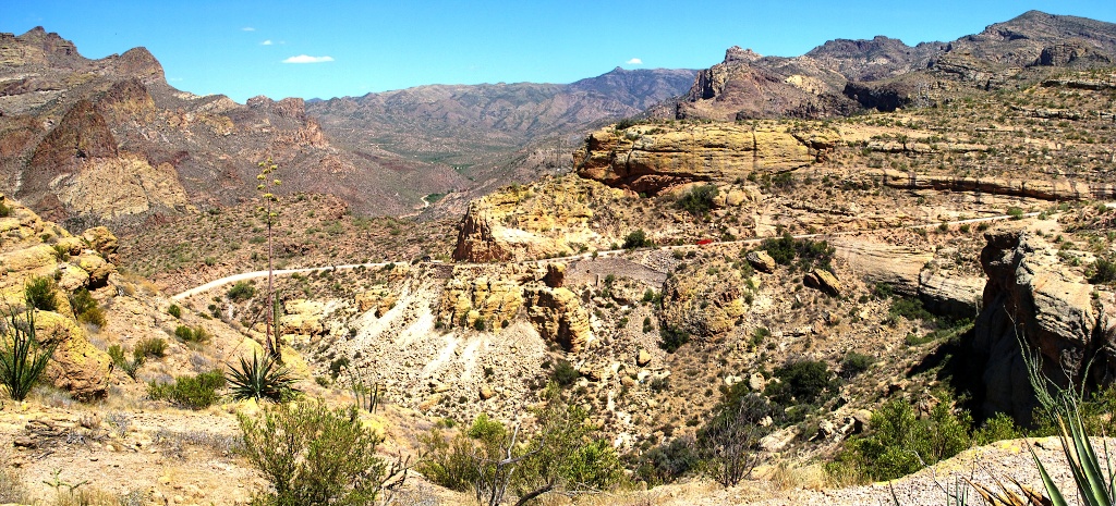
While Surya appreciated the view from the railing, Michael and I
took a quick side-trip along a tempting trail.
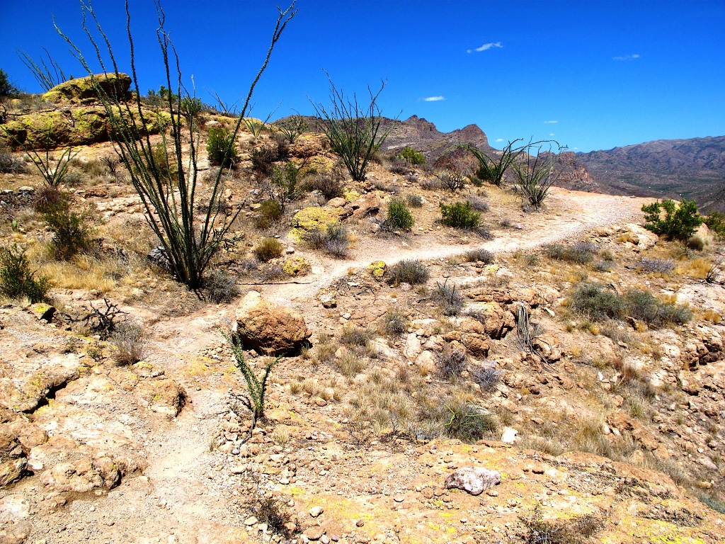
To prove we were there, Michael and I took turns taking pictures of each
other. I was lucky to have the more attractive subject! To make up for that, I
chose the more challenging photo spot.
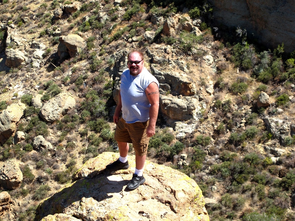
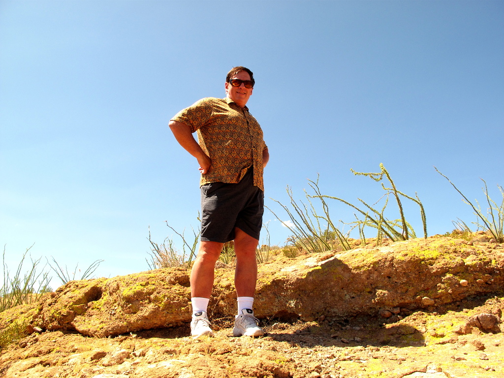
We then returned to the car, enjoying that walk as much as the one from it.
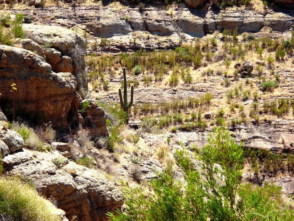
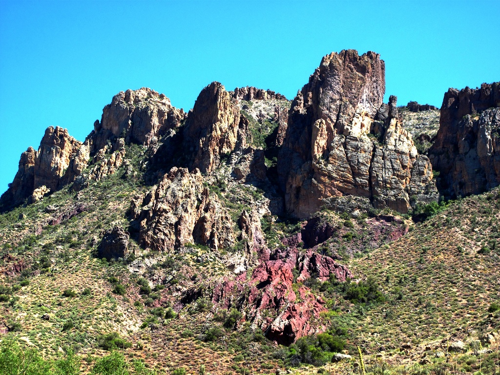
We made our way carefully into Fish Creek Canyon, then on toward Lake
Roosevelt. We did need to make a primitive pit stop along the way, which
provided an opportunity to capture another spectacular bit of Arizona color.
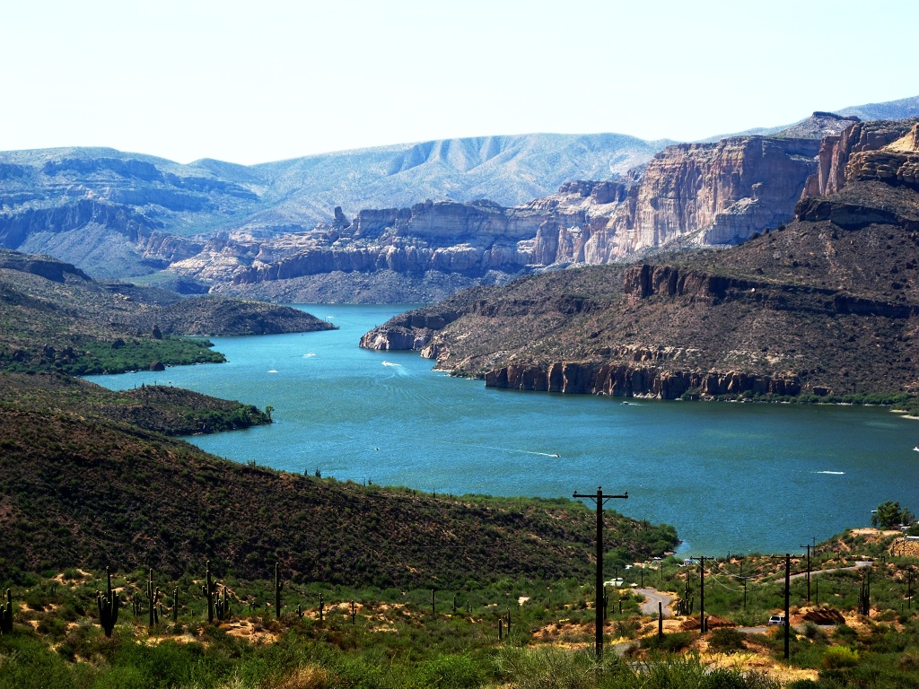
Apache Lake, the most remote of the chain of man-made lakes along
the Salt River, lies one mile north of AZ-88; and the road provides
a breathtaking view of it.
We didn't take any more pictures as we were covering ground we've
covered (and photographed) before. We did continue Lake Roosevelt,
headed north to Jake's Corner and then back through Sunflower to
Surya's apartment where we dropped her off.
If you live in the Phoenix area and are wondering how to spend a lovely day,
I can definitely recommend this trip.