|
By: Paul S Cilwa |
Occurred: 5/10/2024 |
|
Page Views: 586 |
| Hashtags: #Places #Arizona #Phoenix #SouthMountainPark |
| A park 25 million years in the making. |
| Estimated reading time: 8 minute(s) (1726 words) |
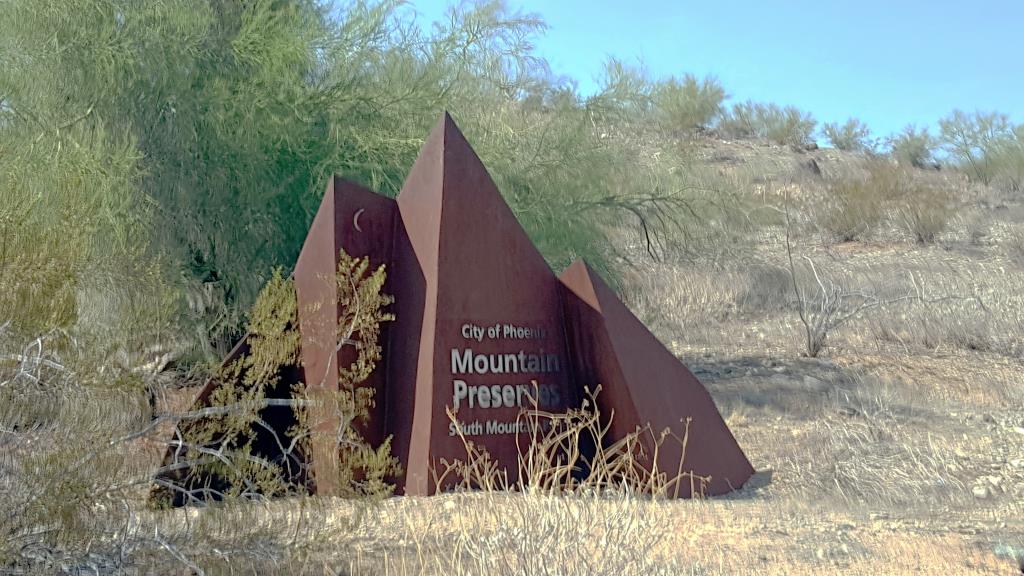
South Mountain Park in Phoenix, Arizona, has a history that dates back to the
early 20th century. Its foundation is deeply tied to the development and
growth of Phoenix as a city. The initial acquisition of land for South
Mountain Park began in 1924 when the State of Arizona itself was only twelve years old.
Phoenix's city commissioners, influenced by that era's national City Beautiful
movement, recognized the need for preserving natural desert landscapes for
public enjoyment. The movement emphasized the importance of including natural
beauty in urban planning, which was a revolutionary concept at the time.
But everyone thought it was a good idea, since there was no conservative media
to scream, Socialism!!!
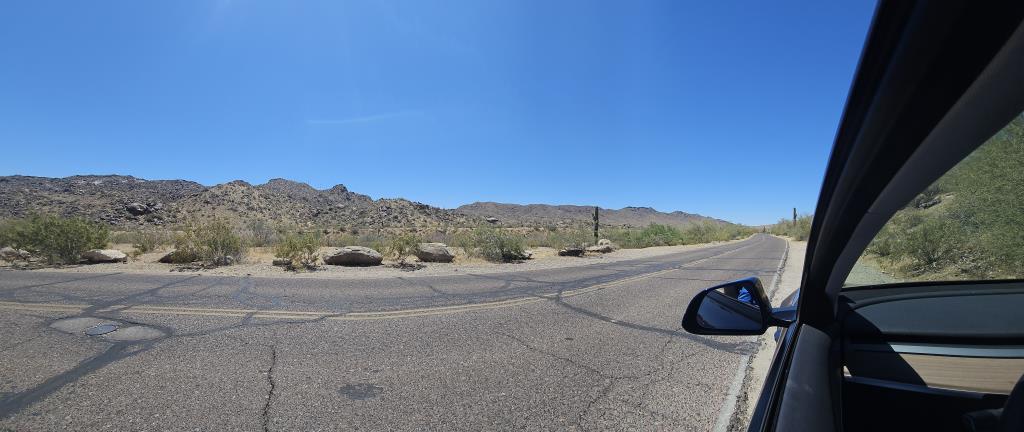
Though it was more remote in 1924, paved roads and overlooks (some with restrooms)
make it thoroughly accessible, even to someone like me who's 73 and has a bad hip.
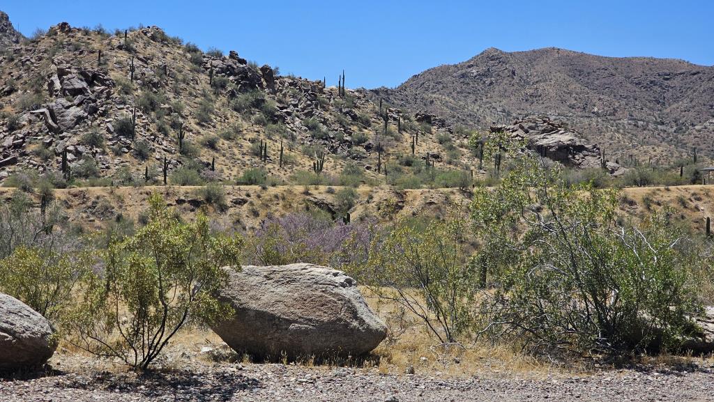
For those with better hips, there are also numerous trails, as you'll see in some of
the photos below.
The park has two or three entrances. The one I took was right off Central Avenue, to
Telegraph Pass Road.
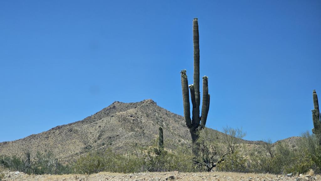
The saguaros were in bloom, as they are this time of year.
Saguaros (Carnegiea gigantea) are cacti. They are one of the most iconic species of the
Sonoran Desert and are known for their tall, columnar growth and impressive lifespan,
which can exceed 150 years.
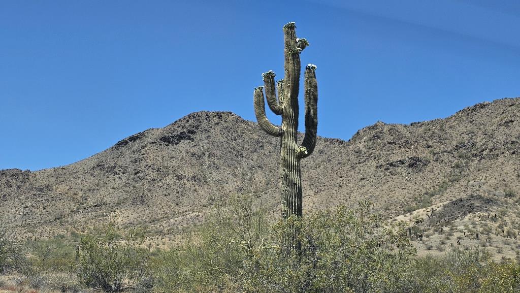
The saguaro cactus blooms in late spring to early summer, usually from late April
through June, depending on the local climate conditions. The flowers appear on the
tips of the arms and the main trunk, opening at night and closing by the next midday.
(I took these photos shortly before noon.)
These large, white flowers are pollinated primarily by bats, as well as by birds and
bees during the daytime. Following successful pollination, the flowers develop into red,
fleshy fruits that are an important food source for wildlife during the hot desert summer.
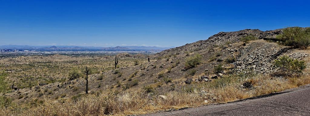
The view of Phoenix from South Mountain is truly spectacular and offers a unique
perspective on the sprawling metropolitan area nestled in the Valley of the Sun.
From various vantage points along the park?s trails, visitors can enjoy breathtaking
panoramic views. And note that, in taking these photos, I haven't yet even stepped
out of my Tesla!
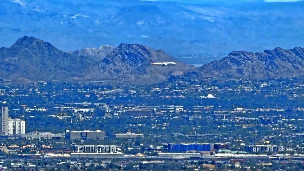
The above photo, taken with my camera at 10x normal lens, shows a plane coming in
for a landing at Sky Harbor Airport. (Okay, I may have gotten out of the car for that one!)
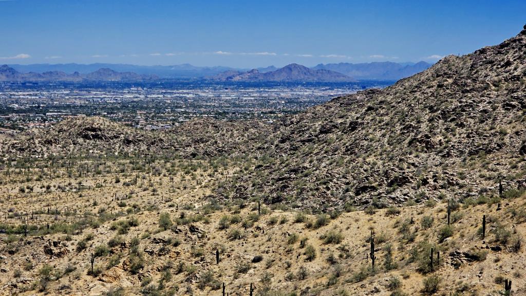
South Mountain is part of a larger geological feature known as the Phoenix Mountains,
which includes several ranges and isolated peaks. The space between them (there's also
a North Mountain) is what we locals call The Valley of the Sun
or simply, The Valley
,
even though it's not a true valley, which is a geologic feature carved by a river.
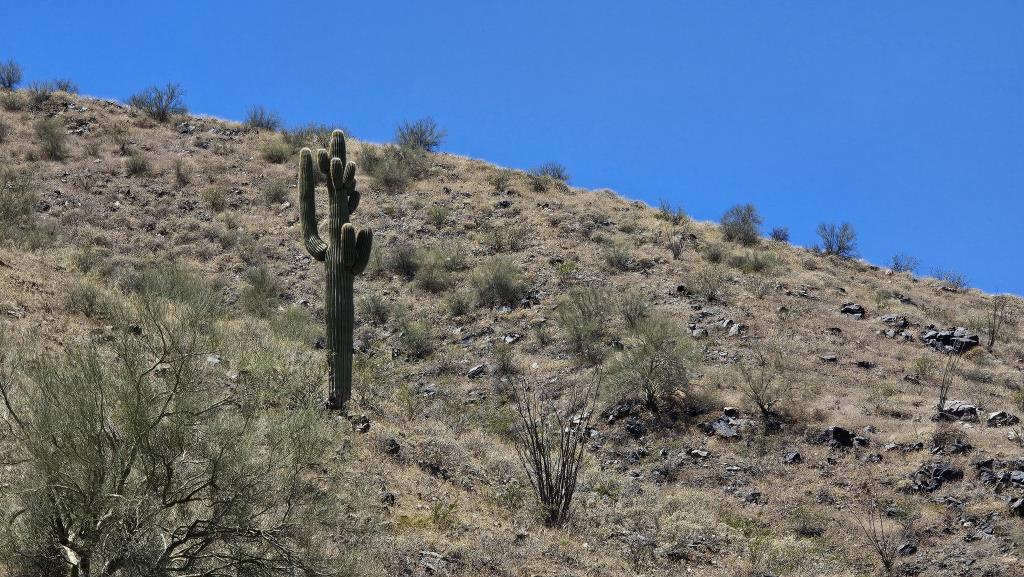
The formation of South Mountain, like other mountain ranges in the region, is primarily
attributed to tectonic activity, specifically crustal extension that occurred during
the Miocene epoch, roughly 25 to 5 million years ago.
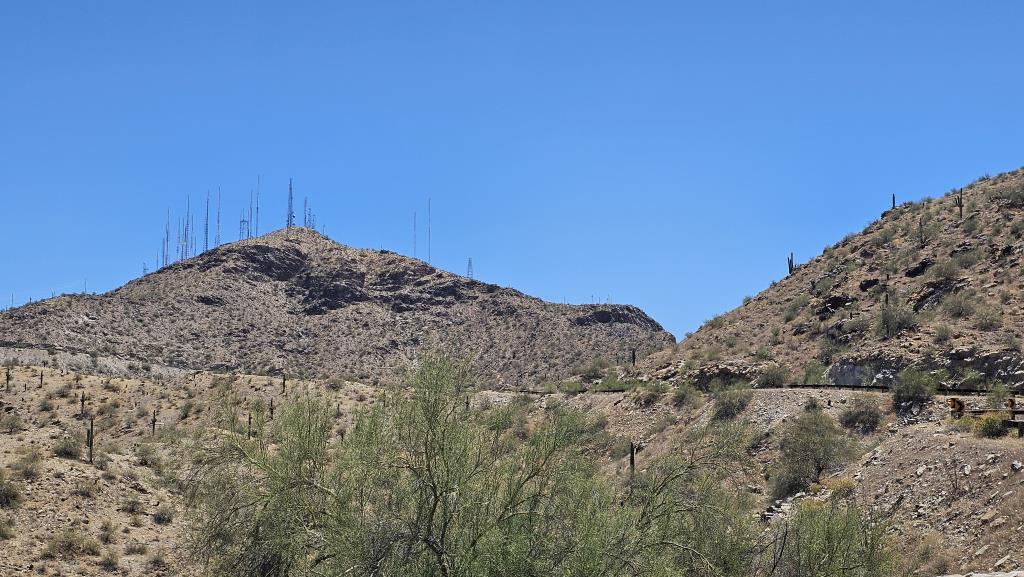
At the summit of South Mountain, there is a notable cluster of radio and television
antennae, which play a crucial role in broadcasting services across the Phoenix area.
This cluster includes various towers for FM radio and television stations, essential
for ensuring that communications cover the sprawling metropolitan area effectively.
The presence of these antennae at such a high elevation is strategic, leveraging the
mountain?s altitude to maximize broadcast range and clarity. This is also where cell
phone signals are provided to practically the whole city.
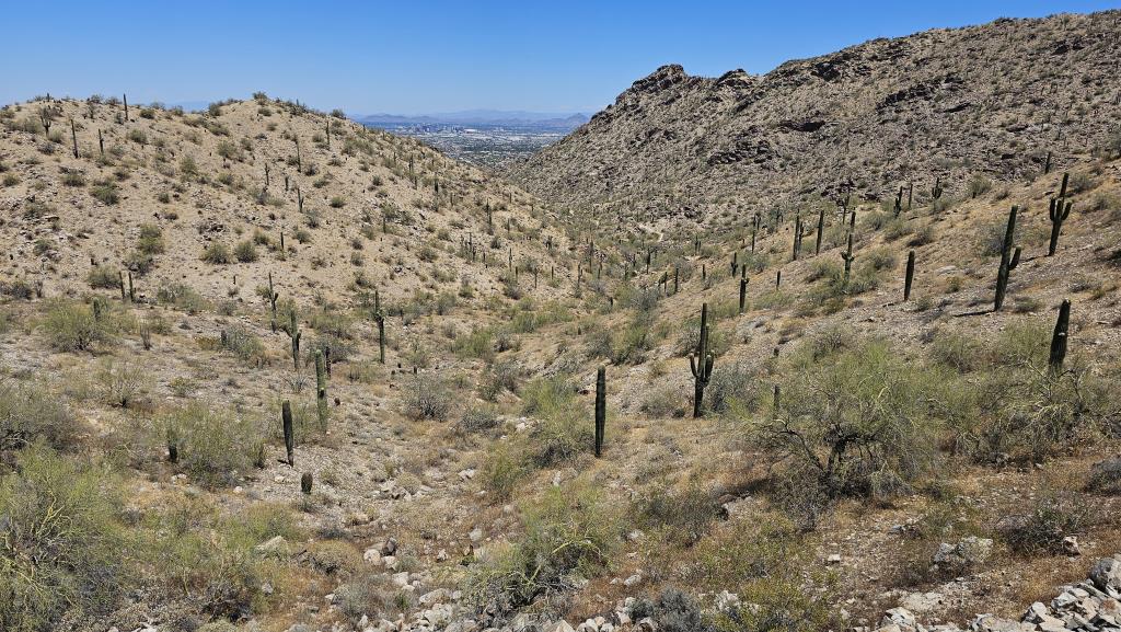
The saguaro's ability to flower and fruit annually is vital for the survival of many
desert species, making it a keystone species in its ecosystem. Despite its rugged
appearance, the saguaro is quite sensitive to its environment, requiring specific
conditions that are only found in the Sonoran Desert, spanning areas of Arizona,
California, and parts of Mexico.
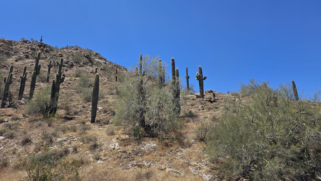
The saguaro cactus, with its towering, columnar structure, serves as a vital ecological
resource in the Sonoran Desert, particularly as a nesting site for various bird species.
Notably, the Gila woodpecker and the gilded flicker create nesting cavities within the
saguaro's flesh. These birds carve out holes with their beaks, and the cactus responds
by forming a callus tissue around the wound, which hardens to form a protective boot
around the nest. This adaptation prevents the cactus from losing too much moisture and
provides a safe haven for the birds? eggs and chicks.
The ancestors of today's Akimel O'odham (Pima) and the Tohono O'odham peoples are
called Hohokam
in their language, which means those who have gone
.
It's used by archaeologists and historians to refer to the culture that inhabited
the Sonoran Desert, including South Mountain, from approximately CE 1 to about 1450.
They left behind petroglyphs on some rocks that can be seen from the trail.
Of course, the white guys in 1924 weren't really concerned, or possibly even cognizant,
of the cultural significance to the O'oodham peoples of various sites and artifacts
located in the park area. However, surrounding them with a park has, ironically,
protected them; as, surely, the entire mountain would be now covered with condos if
they hadn't.
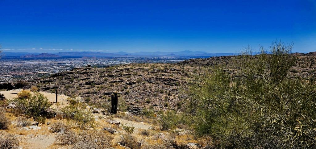
The above and next several photos were taken from and of Dobbins Lookout, often
referred to as Dobbins Point. This is the highest accessible point in South Mountain Park,
located at an elevation of 2,330 feet. It provides one of the most stunning panoramic
views of the Phoenix metropolitan area and its surrounding desert landscape. Visitors
can reach Dobbins Lookout by hiking, biking, or driving up the winding Summit Road,
which offers its own scenic vistas along the way.
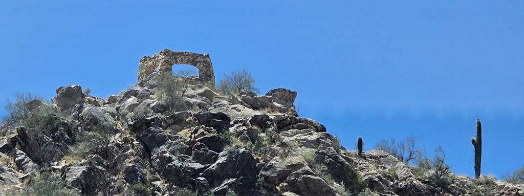
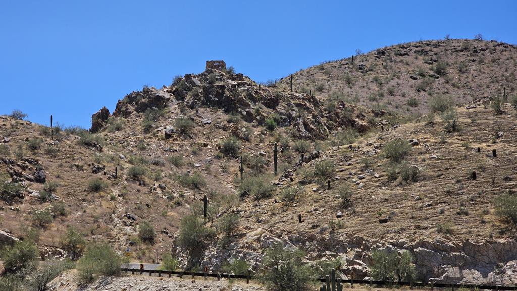
The area around Dobbins Lookout includes a stone ramada, built in the 1930s by the
Civilian Conservation Corps (CCC). This historic structure provides shade and a
place for visitors to rest and enjoy the scenery. It represents a piece of the
park's history, reflecting the era's craftsmanship and the role of New Deal programs
in developing public lands for recreational use.
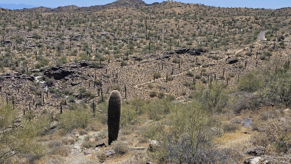
The lookout is named after Robert Lee Dobbins, a local entrepreneur and early advocate
for the preservation of South Mountain as a public park. In recognition of his efforts,
this particular point was dedicated to him, underscoring the area's historical
significance and the community's appreciation for natural conservation.
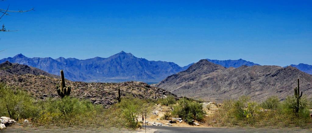
And, by the way—entrance to the park is free of charge!

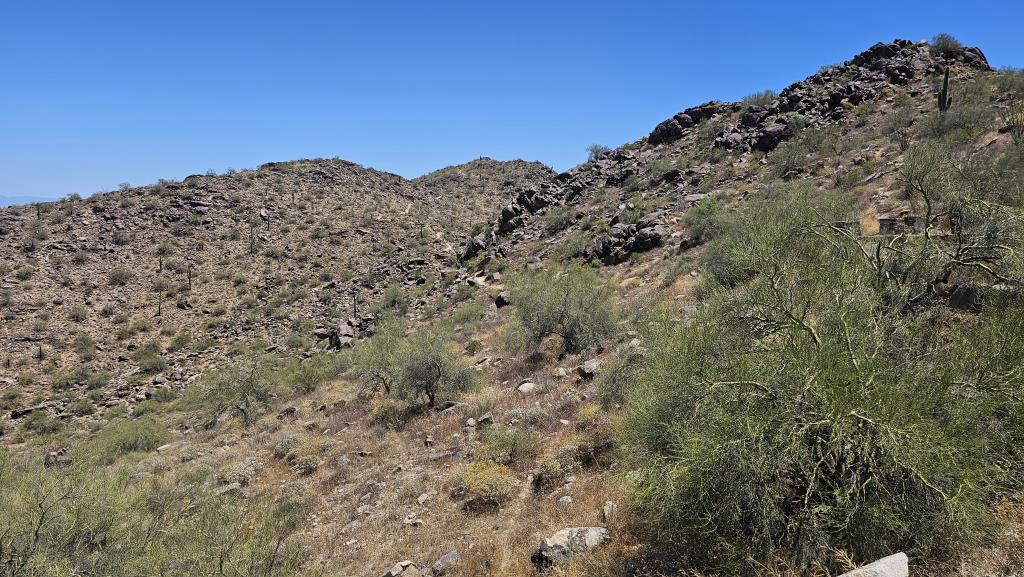
From Dobbins Lookout, visitors have a clear view that stretches across the
urban expanse below, from the skyscrapers of downtown Phoenix to the rugged
outlines of distant mountains.
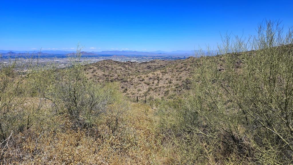
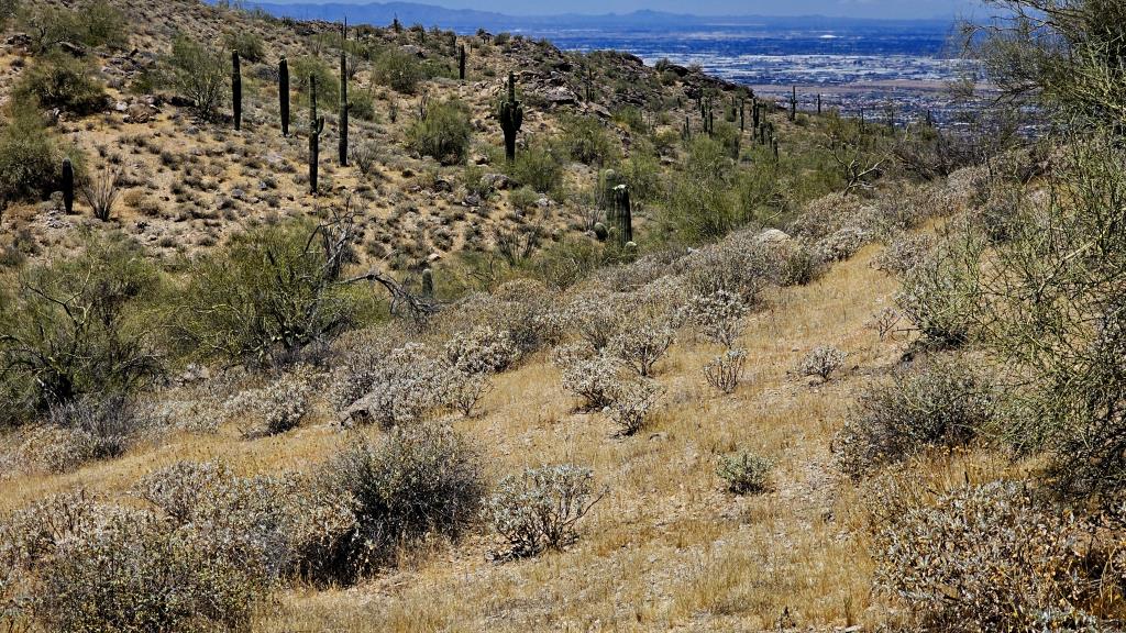
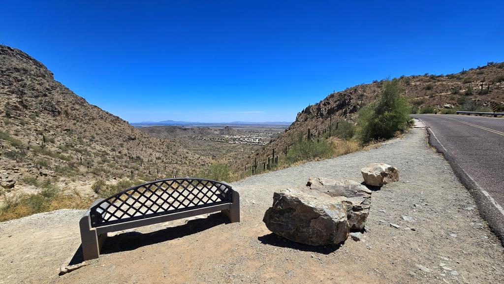
The next lookout I stopped at was called Buena Vista. It featured a beautifully-positioned
bench from which one could sit and meditate, I suppose.
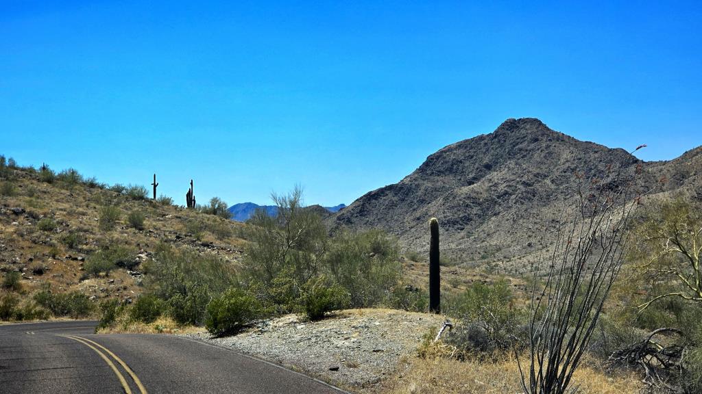
As one drives along the very twisty road, every few minutes a new, spectactular
view of the city is revealed. This is probably why the speed limit is 25mph, with a
strong caution to limit speed to 15mph on curves.
The whole road is curves.
My last visit today was to Gila Valley Lookout, which is on the south side of
South Mountain and, therefore, looking away from the city.
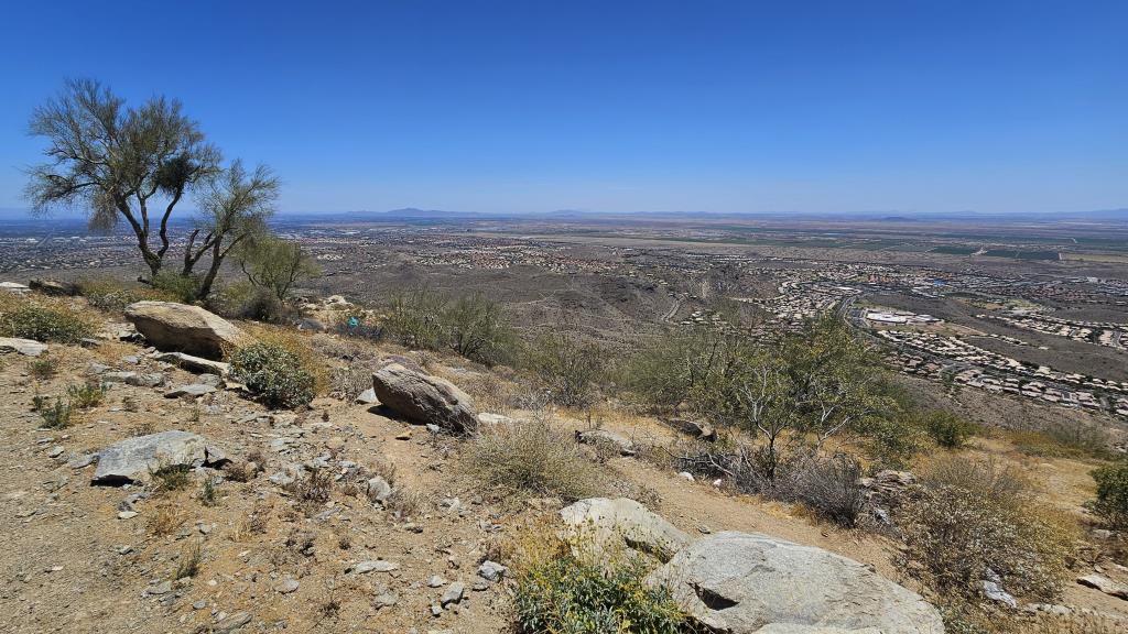
Positioned to provide stunning vistas over the Gila Valley and beyond, this lookout is a
treasure for those seeking a more serene and contemplative experience,
as well as those who become aroused at the sight of endless rows of cookie-cutter
houses.
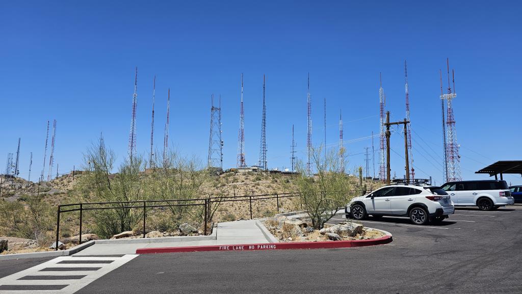
Gila Valley Lookout is also located quite close to the array of towers
at the summit. It's at once ghastly and compelling. While these structures
are crucial for communication, they also pose challenges, such as visual
pollution and potential environmental impacts. Managing these impacts while
maintaining the area's natural and recreational value is a continual
challenge for park authorities and city planners. This juxtaposition of
technology and nature at South Mountain really provides a compelling narrative
about modern life's complexities in a desert city, and the need to balance
the human requirements for today against our need to have a habitable
world in the future.
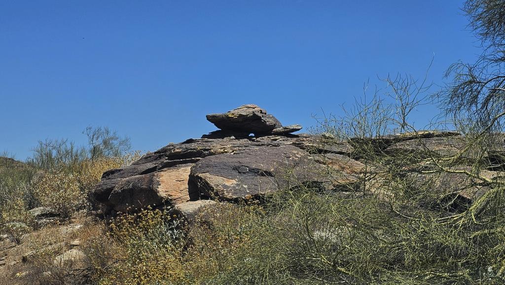
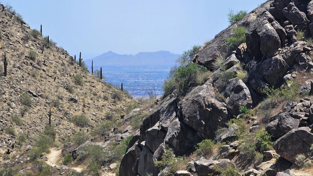
Look at the rock above. See how it's basically dark, but lighter where pieces have broken
off? Well, that's called desert varnish, a dark, often shiny coating found on the
surface of rocks in arid environments like deserts. This intriguing phenomenon
has captivated the interest of geologists and archaeologists because of its appearance
and the processes involved in its formation. Desert varnish is composed primarily
of clay minerals mixed with iron and manganese oxides. The iron oxides give the
varnish a reddish-brown color, while manganese oxides contribute a darker, black layer.
The exact composition can vary depending on the local environment and the minerals
present in the area.
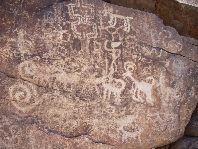
Desert varnish often holds significant archaeological value because ancient peoples
used these varnished surfaces as canvases for petroglyphs. They created rock art by
scraping away the dark varnish to reveal the lighter rock beneath. This contrast in
color made the designs highly visible and durable, preserving cultural expressions
that are still visible today.
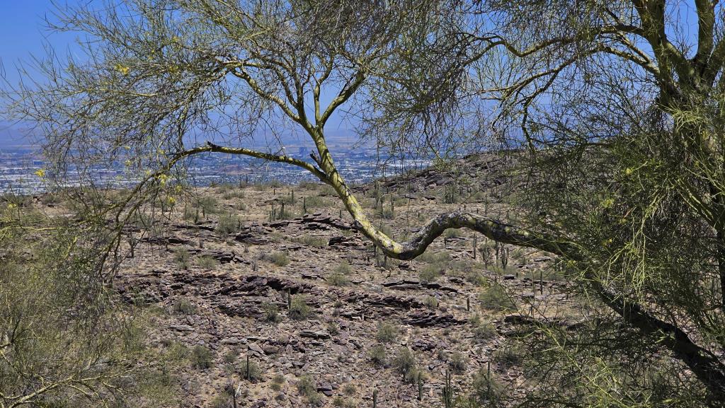
This is not a loop road, so at Gila Valley Lookout I had to return the way I came.
And, being a 73-year-old with a bladder the size of a lentil, I needed to stop again at Dobbins,
which has a restroom.
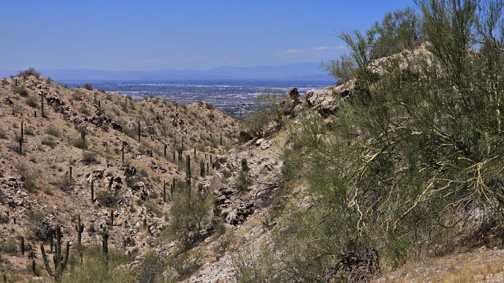
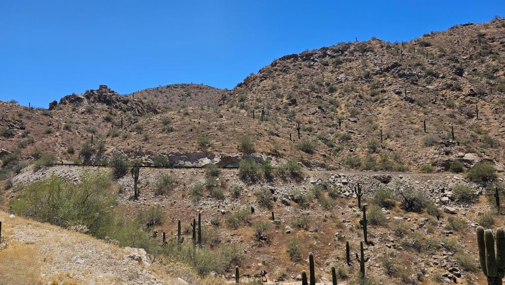
There are a number of little
lookouts as well as the larger ones.
And then, just before exiting the park, I got to see a bird having lunch
at the saguaro's flower bar!
There are (at least) two other entrances to the park, whose roads do not connect
with Telegraph Pass Road. (I'll bet you can guess the history behind that name!)
It's been almost five years since my last visit; hopefully I'll make it back
sooner than that to check out the other two!