|
By: Paul S Cilwa |
Posted: 3/27/2010 |
|
Page Views: 1,340 |
| Hashtags: #VerdeHotSpring #VerdeRiver #Arizona #Camping #Photography |
| The time I failed to reach Verde Hot Spring due to a river swollen from winter rains. |
| Estimated reading time: 4 minute(s) (887 words) |
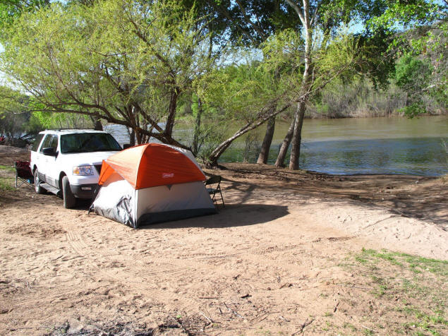
The adventure starts at Childs Campground, where normally, there
are only a few campsites directly on the river. But the high water
took out a lot of baby cottonwoods, creating new riverfront
property. I got to camp almost on the water's edge.
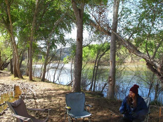
My friends, Eddie and Carl, had the site next to mine. Here's
Carl relaxing with the swollen river running behind.
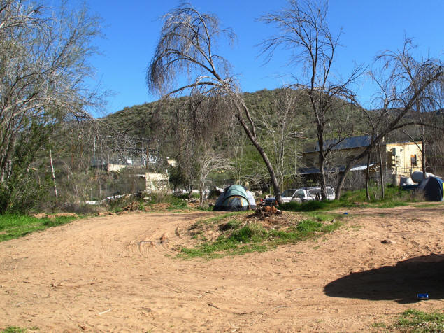
Considering that I got there Friday night in March, I was
surprised how many campers were already there. Here's someone who
must have been worried the river was still rising, else why pitch
their tent where the view of the abandoned power plant is clearer
than that of the river?
As I've described previously, Childs, a hydroelectric plant that
generated electricity from water rushing from Fossil Creek to the
Verde River, was shut down about 10 years ago and the diverted flow
from the creek turned off. Thus the cottonwoods, which had grown all
those years from the leftover flume water, died off. Slowly campers
are cutting down the dead trees and burning them for firewood. Some
of the trunks are too big to haul away, however.
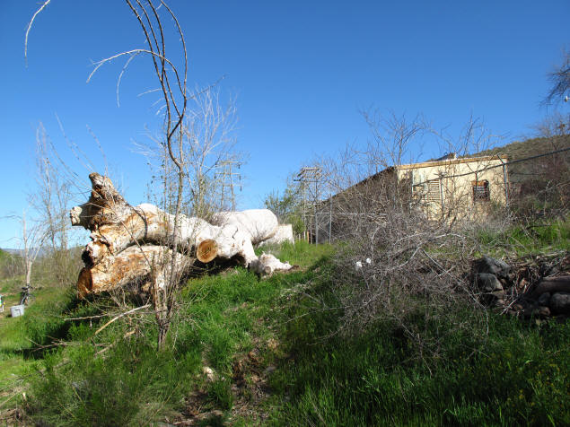
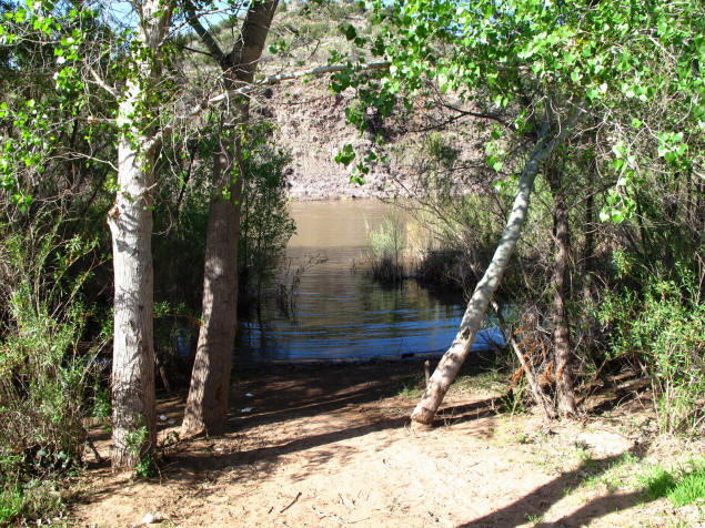
On my first camping trip here two years ago,
I drove between these two trees and knocked off one of my side mirrors. I parked beyond the
bushes, now on an island, and I wasn't on the edge of the water at
all. If my car were there now, it would be underwater.
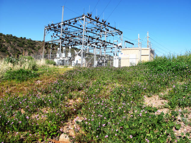
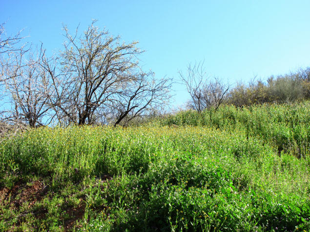
In addition to raising the river, the abundant rains this winter
have produced a particularly exuberant crop of wildflowers,
prettying up even the power plant's skeletal remains.
The first part of the hike to the river crossing, passes the
foundations of the homes of the power plant workers. The occasional
dead cottonwood in what had been a yard suggests that they had been
watering their yards (perhaps to grow lawns?) up to a decade ago.
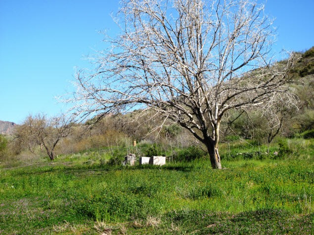
I don't know if the bee hives are still in use; I imagine they
are, by bees, even if no apiarists are managing them any more.
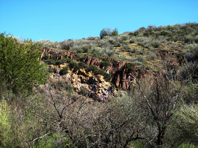
Strolling along here provides plenty of views that explain why
this area was underpopulated, even in the Native American days. Its
beauty is sere, and hiking here without even the rough road built
for the power plant would be quite a challenge.
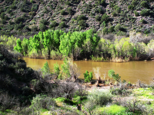
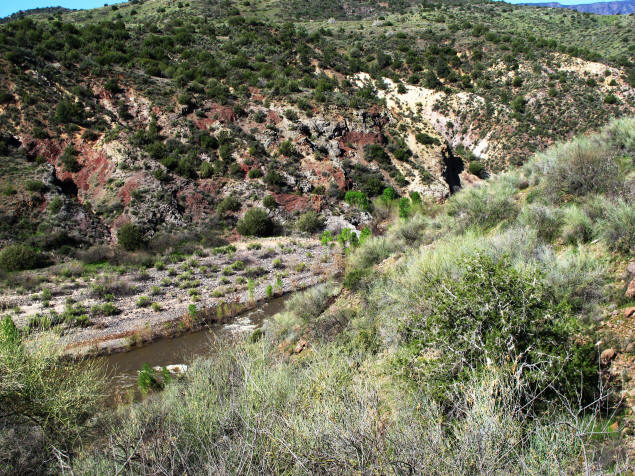
Along the river, of course, the trees are healthy and green.
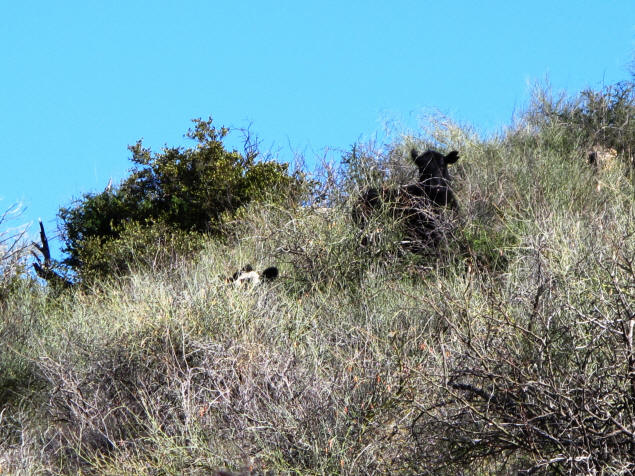
I had never seen cows here before, but obviously they'd been
drawn to the lush vegetation near the river. When a few were
disturbed, they bounded up the hillside like mountain goats.
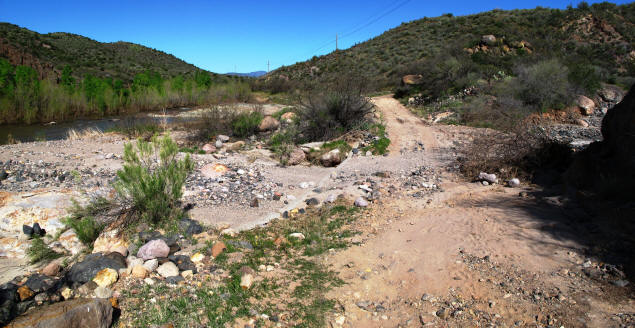
As crude as it is, I was still surprised to see the "road" had
been washed out at one point by water flowing from the side canyon.
This was no problem to me on foot, of course. But it still points
out how fragile are the works of man in the face of Nature.
Here's the place we normally leave the road and cross a
gravel-and-lava bar, then stroll through a stand of aspen, to the
narrow, shallow spot where the river can most easily be crossed. The
bar was now a fork of the river! And the trail through the aspen was
completely flooded.
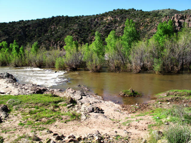
Just upstream of the usual crossing spot is a pond into which the
Verde flows, and immediately drains. Because it is wide and deep, it
usually calms the current and is a quiet place to get a cool swim
before or after the hot spring experience. I thought I might be able
to swim across at that point, but in this new configuration, the
current didn't seem to be slowed at all.
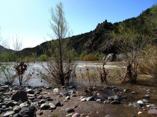
And the crossing itself? Not a crossing any more. I'll have to
wait for the drying of summer, maybe May, before trying for Verde
Hot Spring again.
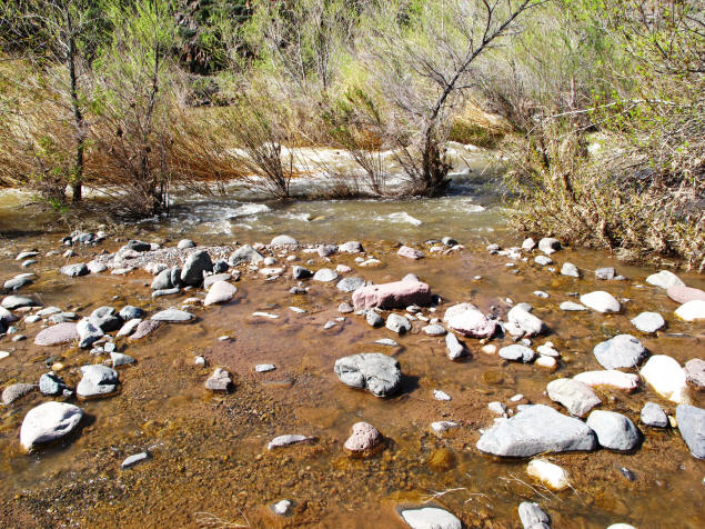
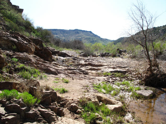
Since I didn't go to the spring, I tried walking a little farther
down Childs Power Road. It doesn't go much farther, or didn't today
as it headed directly into the water. Looking back from there, it
looks like a 4-wheeler's dream.
I ate lunch and took a nap before striking camp. On the way up the
hillside, back to civilization, I got the best view of the hot
spring I was going to get on this trip, thanks to a very high
hill and a pretty good telephoto lens.
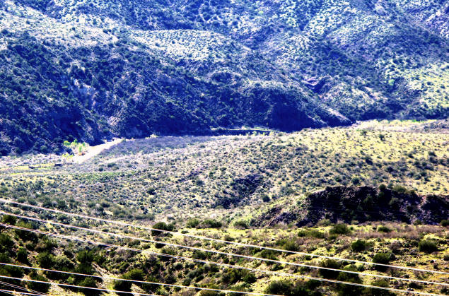
You can't really see the spring itself, but that structure in the
center of the picture is what remains of the resort, which was built
in the 1920s and burnt down in 1962.
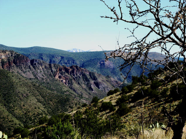
On the drive back, in addition to the unusual amount of greenery,
I noted that there are still mountain peaks in the distance that are
covered with snow. So maybe this is just a little too early in the
year to try for this. Or maybe not, if one can be content with
gorgeous scenery and sweeping vistas.